dcr
Deceased Member
Registered: February 2004
Posts: 1,317

|
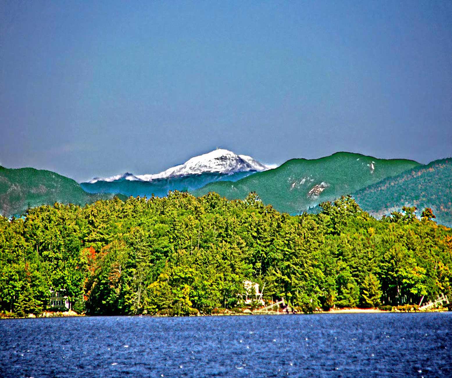
A view over Round Island, past Mt Paugus of the Sandwich Range and on to Mt Washington of the Presidential Range, about 53 miles to the north. An early fall photo shows mostly green foliage on the dedicuous trees nearby, but plenty of snow on the high ground. made up of Washington, Ball Crag, to the right, a NE shoulder of Washington, and the 2 summits of Mt Monroe, on the left. To the right of Ball Crag there appears to be blowing snow in the air.
|


 Winnipesaukee Forum