dcr
Deceased Member
Registered: February 2004
Posts: 1,317

|
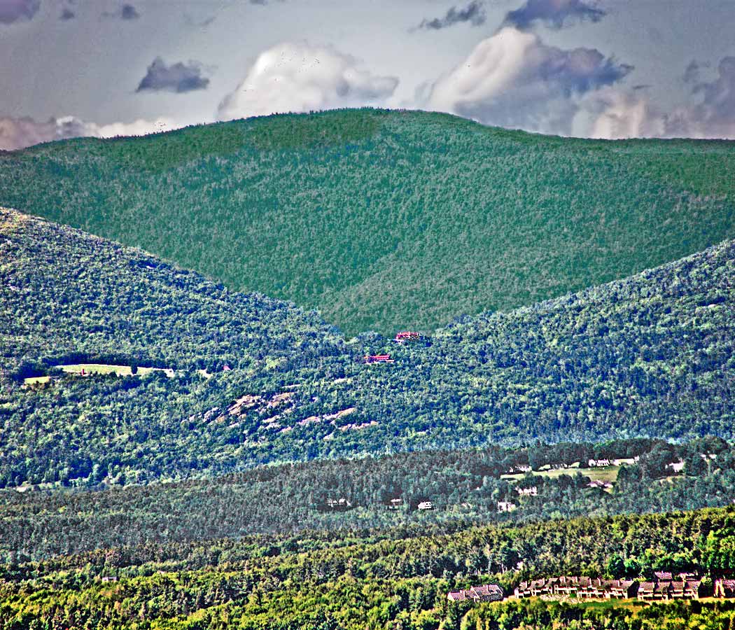
This photo, taken from across the lake at Lockes Hill, shows 4 general sections of land area: in the background the upper third of the picture shows Faraway Mt, one of the Ossipee Range's largest mountains; the next level below shows the Castle in the Clouds and its Carriage House situated atop little Lee Mt - to the left of the castle we see the long Roberts Ridge leading to the west toward the summit of Mt Roberts, and to the right we see Oak Ridge leading to the east up to the high ridge connecting Faraway Mt to Mt Shaw. The bottom part of the photo shows first the small area of low ground between the Ossipees and Winnipesaukee, featuring the open fields of the Bald Peak Golf Course at the far right. At the very bottom is either part of Moultonboro Neck or perhaps Long Island, showing a large area of development land at the far right.
|


 Winnipesaukee Forum