dcr
Deceased Member
Registered: February 2004
Posts: 1,317

|
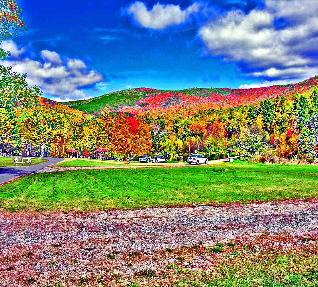
This shows one of the most used sections of the Castle grounds: the paved road on the left leads to the parking lot for the Castle tours; the dirt road leading to the right is starting across the dam that creates Shannon Pond, seen here just beyond the cars and the road over the dam - the pond has huge rainbow trout in it (no fishing allowed) which are a great attraction to the tourists who can buy fish pellets from dispensers on a feeding dock and toss them into the water and watch the huge fish make the water boil as they compete for the food. The dirt road leads to 20+ miles of old carriage roads that form the major part of the trail system on the Castle's 5500 acres - numerous superb views are hikers' rewards at the ends of those trails. In the background are seen Mt Roberts and Faraway Mts, two of the largest peaks of the Ossipee Range which both provide grand views. Trails lead to several other great viewspots, including Mt Shaw, the Lakes Region's tallest peak, where views to the north are superb. You can see picnic tables between the road and the pond, which are available to the public when the grounds are open.
|


 Winnipesaukee Forum