dcr
Deceased Member
Registered: February 2004
Posts: 1,317

|
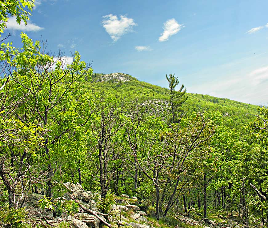
The distance from Rte 171 to Bald Knob is about 3450 feet and the gain in elevation is about 1100 feet - that qualifies as a steep climb. The southern slope of Turtleback Mt, of which Bald Knob is a feature, is steeper on the lower half than on the upper portion. The traditional trail winds its way up the mountain in about 1.1 miles. Many folks find even this short hike to be quite demanding. A newer trail, which starts at the Rte 171 hiker's parking lot at Castle in the Clouds, provides a less demanding, tho somewhat longer, hike (2 mi.) that goes across much easier terrain and uses old carriage roads for half the distance.
|


 Winnipesaukee Forum