dcr
Deceased Member
Registered: February 2004
Posts: 1,317

|
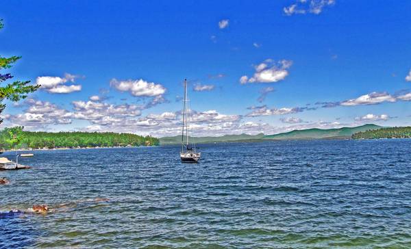
This photo is from a small public beach on the Gilford/Alton town line on Rt 11. To the left is Coleman Point - Sandwich Dome lies in the far background, just behind the moored sailboat. In the far background at the center is the Sandwich Range, and to its right, somewhat closer, is the Ossipee Range. At the far right is the western portion of Diamond Island, with Mt Shaw of the Ossipees looming up behind it.
|


 Winnipesaukee Forum